 SILVAFALCON
Falcon AI / Processing
From captured images to usable site data.
Process drone data in a workflow built around surveying, construction and inspection deliverables. Confirm supported inputs and exports using a sample dataset.
Choose outputs before you process.
Scope orthomosaics, surface models, point clouds, mesh outputs or inspection imagery according to your capture method and project requirements. Not every sensor or project needs every output.
Quality is more than image sharpness.
Review coverage, alignment, control, coordinate reference and independent checkpoints. Distinguish ground sampling distance from measured positional accuracy. Document exclusions rather than hiding incomplete areas.
Keep the handover usable.
Agree file formats, coordinate units, naming, dates and accompanying quality information with the receiving engineering team. Validate a representative export before scaling the project.
Continue exploring
One site record. A shared understanding.
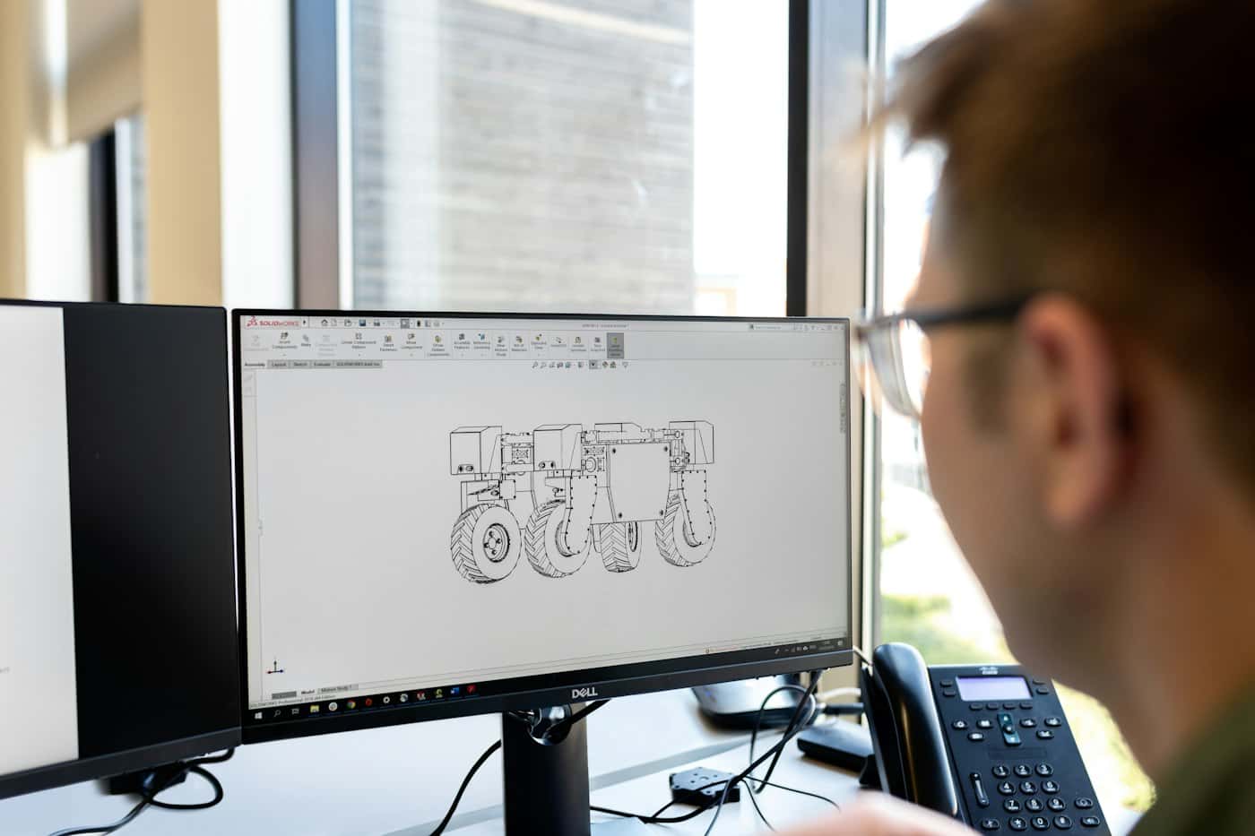
Bring drone survey, construction and inspection records into a collaborative Falcon AI viewer. Review project data and agree a practical handover workflow.
Explore the workflow ↗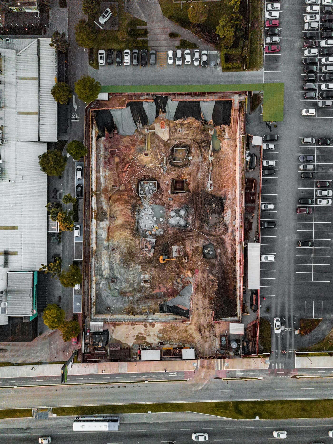
Measure the site. Understand the ground.
Request drone surveying and mapping in India. Scope orthomosaics, terrain models, contours and quantities with control, checkpoints and agreed deliverables.
Explore the workflow ↗Drone photogrammetry quality checks
A practical review of coverage, control, surfaces and export quality before accepting a drone photogrammetry dataset.
Read the guide ↗Let’s work with your real brief.
Bring a site, a dataset or a hardware requirement.