 SILVAFALCON
Reality capture / SLAM
Capture spaces beyond the flight path.
Configure SLAM-based scanning for indoor and complex built environments where aerial capture alone cannot describe the asset.

Match the scanner to the space.
Consider operating range, surfaces, lighting requirements, loop closure, image capture and the intended point-cloud workflow. Specific model recommendations follow a requirements review; no unconfirmed model is listed as stocked.
Validate registration and completeness.
Plan the walk, control and independent checks. Document occluded areas, drift and registration quality. A point cloud suitable for visualization may not satisfy a measured survey or design tolerance.
Connect ground and aerial records.
Agree coordinate reference, registration, export formats and a sample handover into Falcon AI or your existing engineering tools.
Continue exploring
One site record. A shared understanding.
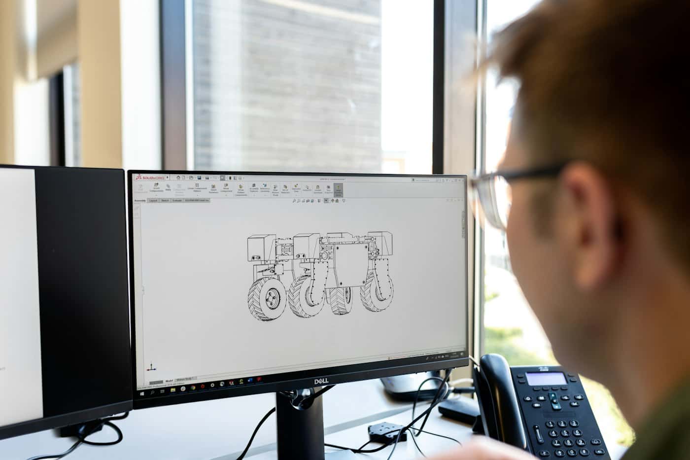
Bring drone survey, construction and inspection records into a collaborative Falcon AI viewer. Review project data and agree a practical handover workflow.
Explore the workflow ↗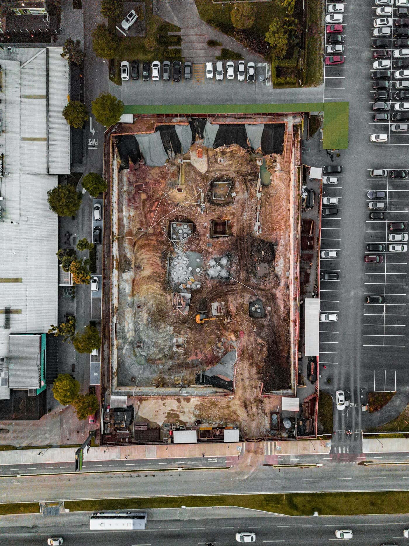
Measure the site. Understand the ground.
Request drone surveying and mapping in India. Scope orthomosaics, terrain models, contours and quantities with control, checkpoints and agreed deliverables.
Explore the workflow ↗SLAM LiDAR buying and handover guide
Scope a SLAM scanner around the space, registration method, quality checks and point-cloud handover your project needs.
Read the guide ↗Let’s work with your real brief.
Bring a site, a dataset or a hardware requirement.