MAP EVERY SITE. TRACK EVERY CHANGE.
ACT ON WHAT MATTERS.
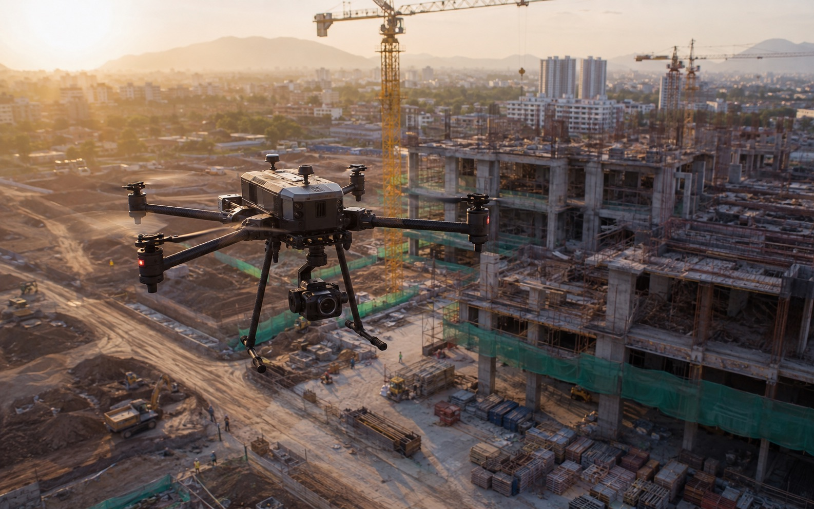
SilvaFalcon combines enterprise drones, autonomous docks, and a single visual intelligence platform to turn every flight into measurable progress, faster inspections, and defensible decisions.
Use SilvaSight to unite aerial and ground data, let Falcon AI prioritize visual change, connect evidence to operating systems, or request qualified capture through Data on Demand.
Intelligence by design means operating within the rules that govern the sky. Every mission is planned around applicable DGCA and UAE aviation requirements, documented flight controls, and auditable data handling.
RAPID DEPLOYMENT
Instinct demands speed. Our operations team mobilises within 24 hours anywhere in the UAE and 72 hours internationally — no mission too urgent, no terrain too complex.
PRECISION DATA
Designed intelligence means the data we deliver is never approximate. Centimetre-level RTK accuracy, validated, calibrated, and formatted exactly how your team needs it.
DATA SECURITY
Intelligent design extends to how we protect what we capture. End-to-end encrypted pipelines, strict chain-of-custody protocols, and NDAs available as standard on every sensitive engagement.
New · Drone as First Responder India
ARRIVE WITH LIVE AERIAL CONTEXT.
A permission-led operating system for public safety, emergency response, industrial incidents, campuses, and critical infrastructure—connecting aircraft, docks, remote operators, live video, and evidence workflows.
Illustrative planning estimate using three field hours per routine visit. It is not a guaranteed saving; actual results depend on travel, permissions, capture scope, and operating conditions.
How We Work
FROM BRIEF TO DELIVERY
A streamlined four-stage process built around clear communication and verified data quality at every step.
STEP 01
Consultation
We assess your site, objectives, and regulatory requirements, then scope the right equipment and crew for the mission.
STEP 02
Flight Planning
Detailed flight paths, airspace clearances, and safety protocols are mapped before any drone leaves the ground.
STEP 03
Data Capture
Certified pilots execute the mission with redundant systems and real-time quality checks on every dataset captured.
STEP 04
Delivery & Analysis
Processed data, reports, and visualizations are delivered in your preferred format, with analyst support included.
Falcon AI organizes aerial and ground imagery into measurable maps, dated progress comparisons, inspection evidence, and a prioritized human-review queue.
Bring orthomosaics, 3D models, site photos, thermal imagery, and approved ground captures into one location-aware workspace. Compare current conditions with prior dates and plans without searching disconnected folders.
01 · MeasureReview distances, areas, quantities, and surface change against an agreed reference.
02 · MonitorTrack progress by zone, asset, package, date, and inspection status.
03 · ShareIssue controlled views and reports with source evidence preserved.
Inspection Intelligence
MOVE FROM IMAGE HUNTING TO PRIORITY EVIDENCE.
Falcon AI can surface candidate changes and organize potential findings for qualified review. It supports the reviewer; it does not replace engineering judgment, regulatory approval, or accountable sign-off.
Build a complete field-intelligence system with Falcon AI software, DJI Enterprise aircraft, India-made collaborative drone configurations, payloads, and docking stations.
Falcon AI · Visual Intelligence Software
TURN EVERY CAPTURE INTO ACTIONABLE EVIDENCE.
Falcon AI is SilvaFalcon's software product for mapping, progress monitoring, inspection review, and visual change intelligence. It connects aerial and ground data to the people responsible for the next decision.
01 · Capture
DOCUMENT AIR + GROUND
Bring drone imagery, thermal data, LiDAR, 360 walks, mobile photos, and approved third-party captures into one location-aware project record.
02 · Understand
LET FALCON AI PRIORITIZE CHANGE
Compare dates and references, surface candidate issues, organize evidence, and direct qualified reviewers to the areas that need attention.
03 · Operationalize
CONNECT EVIDENCE TO ACTION
Share controlled views, assign follow-up, export standard formats, and connect visual evidence to project, asset, CAD, GIS, and reporting workflows.
Aerial + ground evidence aligned to the latest capture.
Human review required
3 priority zones shown · source imagery preserved
18Candidate findings
03Priority review zones
2 datesCompared in one view
SEE FALCON AI IN YOUR WORKFLOW
Bring one representative site, inspection route, or progress-monitoring requirement. We will map the capture inputs, review workflow, outputs, and deployment pathway with your team.
SilvaFalcon helps enterprises select, procure, configure, and deploy the aircraft, dock, payload, and software combination that fits the mission—not a one-size-fits-all box.
01 · SilvaFalcon Software
FALCON AI
Visual intelligence software for mapping, dated progress comparisons, inspection registers, candidate finding review, controlled sharing, and decision-ready reporting.
Mission-led sourcing and configuration across relevant DJI Enterprise aircraft and payload families for mapping, thermal inspection, public safety, and infrastructure operations.
Project-specific aircraft and payload configurations developed with verified Indian OEM and engineering collaborators, with compliance, serviceability, and documentation checked before quotation.
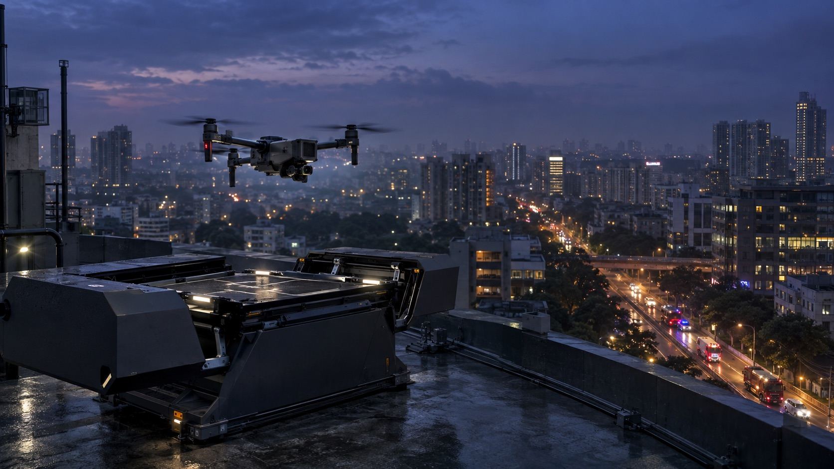
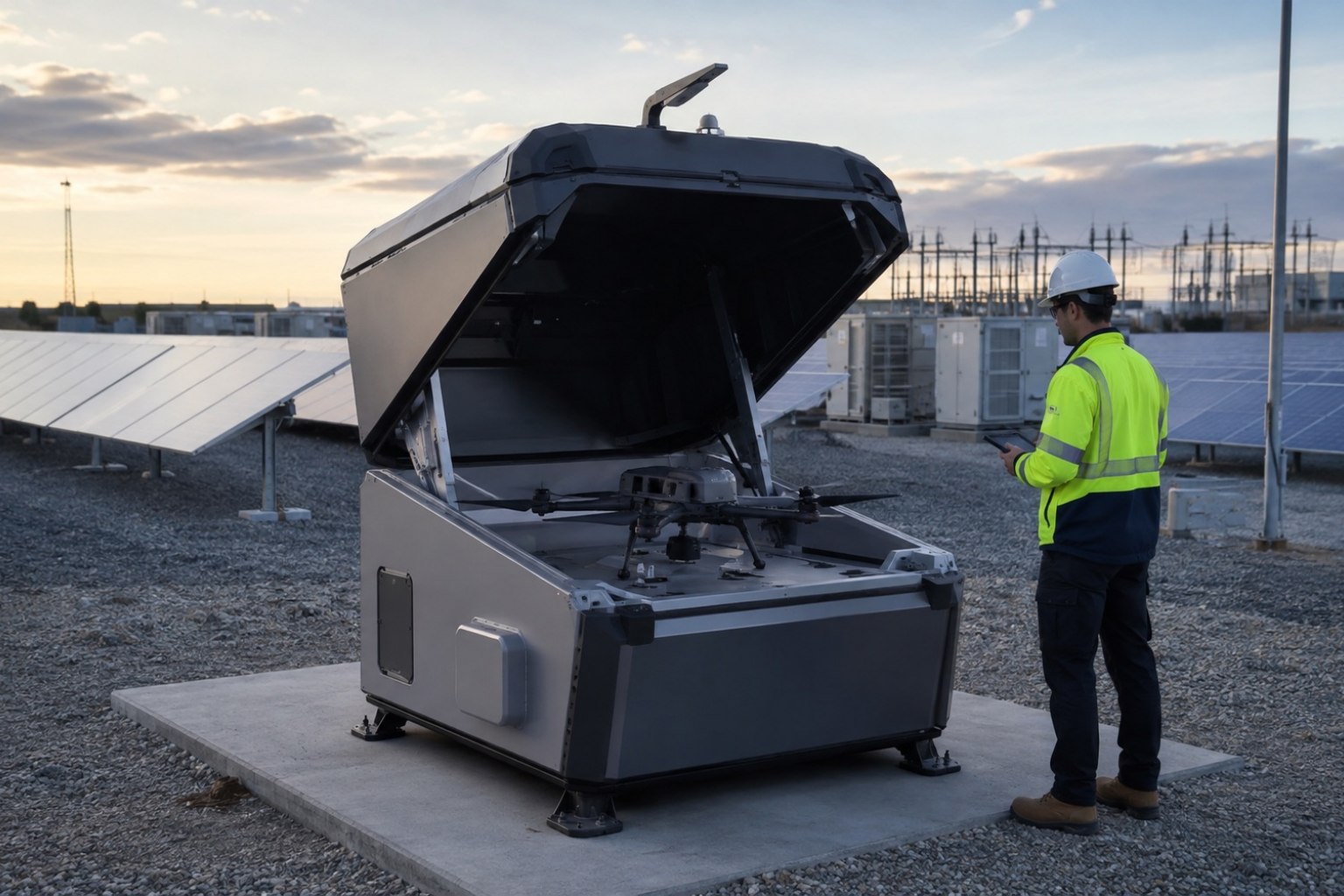
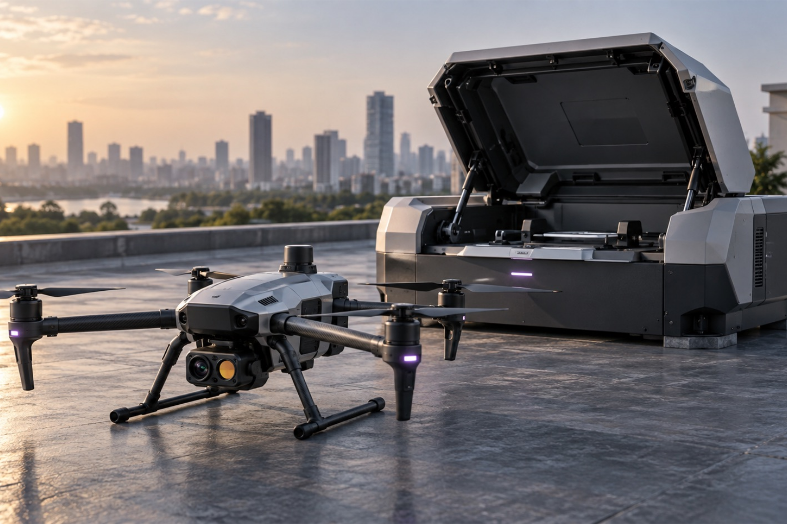
DJI-compatible and India-manufactured dock pathways for repeat inspection, surveillance, mapping, and DFR programs—scoped around the site, aircraft, connectivity, permissions, and response model.
Product and partnership transparency: DJI is a third-party trademark. Product availability, warranty, support, import route, and any reseller or partner status are confirmed in writing during quotation. India-made collaboration systems are offered only after the OEM, certification pathway, operating permissions, warranty, and support model are validated. A product listing does not imply an official partnership.
SilvaFalcon Collaborative Aircraft Roadmap
CONFIGURE INDIA-MADE SYSTEMS WITH VERIFIED OEM PARTNERS.
Concept-stage reference configurations: The SilvaFalcon model names and specifications below illustrate target mission classes and are not offers for immediate sale. Final manufacturer, specifications, certification, delivery, warranty, and support are provided only in a written project quotation.
Flagship
Heavy Lift UAV
SF-RAPTOR X8
Octocopter built for demanding commercial missions. Dual redundant systems, IP54-rated, with optional LiDAR and thermal payload mounts.
45min
Flight Time
12kg
Max Payload
8km
Range
LiDAR ReadyIP54Dual Redundant
Fixed-Wing VTOL
SF-KESTREL V2
Long-endurance fixed-wing with vertical takeoff. Ideal for large-area mapping missions — covers 400 hectares per flight.
3.5hr
Flight Time
3.5kg
Max Payload
80km
Range
VTOLLong RangeMapping
New
Compact Recon
SF-MERLIN S
Tactical, ultralight quadcopter engineered for rapid deployment in confined environments. Folds to backpack size in under 90 seconds.
28min
Flight Time
1.2kg
Max Payload
5km
Range
FoldableRapid Deploy
Maritime / Amphibious
SF-OSPREY M
Water-resistant amphibious drone for coastal surveillance, offshore inspection, and marine search operations. Floats on landing.
38min
Flight Time
2.8kg
Max Payload
10km
Range
Floats on WaterIP67Salt-Resistant
Pro
Heavy Lift UAV — Mapping
SF-TALON PRO
Pentacopter platform purpose-built for high-density LiDAR and multispectral payloads on large industrial and mining sites.
52min
Flight Time
15kg
Max Payload
9km
Range
High-Density LiDARMining Grade
Compact Recon
SF-WREN NANO
Indoor-rated micro drone for confined-space inspection — tank interiors, ducts, and tight industrial cavities.
16min
Flight Time
0.3kg
Max Payload
800m
Range
Indoor RatedProp Guards
Preliminary Reference Configurations
COMPARE TARGET MISSION CLASSES
Model
Category
Flight Time
Max Payload
Range
Max Speed
Ingress Rating
SF-Raptor X8
Heavy Lift
45 min
12 kg
8 km
72 km/h
IP54
SF-Kestrel V2
Fixed-Wing VTOL
3.5 hr
3.5 kg
80 km
110 km/h
IP43
SF-Merlin S
Compact Recon
28 min
1.2 kg
5 km
58 km/h
IP43
SF-Osprey M
Maritime
38 min
2.8 kg
10 km
64 km/h
IP67
SF-Talon Pro
Heavy Lift / Mapping
52 min
15 kg
9 km
68 km/h
IP54
SF-Wren Nano
Compact Recon
16 min
0.3 kg
800 m
32 km/h
IP30
Payloads & Accessories
MODULAR PAYLOADS
Select LiDAR, thermal, positioning, and multispectral payload pathways for the chosen aircraft. Compatibility and final specifications are validated during configuration.
LiDAR Payload Module
High-density point cloud scanning module, compatible with Raptor X8 and Talon Pro airframes.
Thermal Imaging Pod
Radiometric thermal camera for inspection and search & rescue missions, day or night.
RTK Base Station Kit
Field-deployable correction station for centimeter-level positioning accuracy on any survey.
Multispectral Sensor Array
5-band agricultural sensor for NDVI, crop stress, and irrigation mapping.
THE RIGHT PRODUCT STACK MAKES THE DIFFERENCE.
LET'S CONFIGURE YOURS.
Built in India and the UAE by engineers and operators who believe intelligence is not added on—it is designed into every aircraft, mission, dataset, and decision.
Who We Are
PRECISION WAS ALWAYS THE PLAN
SilvaFalcon Group began with a small engineering team convinced of one thing: intelligence, deliberately designed into every process, produces more reliable field evidence and faster decisions.
What started as an aerial surveying operation has grown into a full-stack drone technology company spanning aircraft, autonomous docking, SilvaSight mapping software, progress monitoring, and industrial inspection workflows.
Today, SilvaFalcon Group is building its operating footprint from India and the UAE. The tagline remains the standard: precision by instinct, intelligence by design. It describes how disciplined field execution and deliberate data systems must work together.
Purpose & Direction
BUILT FOR THE PEOPLE ACCOUNTABLE FOR REALITY.
Mission
MAKE PHYSICAL OPERATIONS MEASURABLE
Give every project and asset team a current, trusted view of conditions so decisions are based on evidence—not distance, fragmented photos, or assumptions.
Vision
ONE LIVING RECORD FOR EVERY SITE
Build the India–GCC operating layer where drones, autonomous docks, and inspection intelligence continuously connect the field to the people responsible for outcomes.
Who We Serve
LEADERS WHO OWN THE OUTCOME
Construction directors, survey and VDC teams, asset owners, reliability engineers, energy operators, HSE leaders, and enterprise drone program managers.
Our Philosophy
INSTINCT. INTELLIGENCE. INTEGRITY.
PRECISION BY INSTINCT
The best operators don't think about precision — they embody it. We pair disciplined field teams with repeatable workflows and the data required to prove every result.
INTELLIGENCE BY DESIGN
Every airframe, autonomous mission, and data pipeline is architected with deliberate intelligence. We never bolt capability on afterwards — we build it in from the first drawing.
INTEGRITY IN EVERYTHING
We report what the data shows, deliver what we scope, and stand behind every dataset, flight log, and inspection finding we produce. Trust is the third pillar — and the one that holds the other two up.
Operating Roadmap
FROM FIELD CAPTURE TO DFR INDIA AUTOMATION
01
Field Operations
Build disciplined capture workflows for complex construction, energy, and infrastructure sites.
02
Repeatable Delivery
Standardize mission planning, field controls, QA, and handover for multi-site operations.
03
Fleet Engineering
Match aircraft, payloads, and field kits to measurable operational outcomes.
04
SilvaSight Platform
Unify mapping, visual comparison, progress monitoring, and inspection review in one workspace.
05
India + UAE Delivery
Coordinate regional delivery from T-Hub, Hyderabad and Hessa Street, DAMAC Hills, Dubai.
06
DFR India Automation
Adds permission-led dock deployment, remote response workflows, repeat missions, and accountable exception handling.
Operating Disciplines
THE EXPERTISE BEHIND THE SYSTEM
AS
Aerial Systems
Aircraft · Payloads · Safety
Mission design, aircraft selection, payload integration, airspace planning, and field risk controls.
GI
Geospatial Intelligence
Maps · Models · Measurement
Photogrammetry, LiDAR, thermal interpretation, QA, and decision-ready spatial deliverables.
AO
DFR India Operations
Docks · Remote Missions · Uptime
Leads remote operations, dock deployment, mission repeatability, and field safety systems.
ED
Enterprise Delivery
Onboarding · Integration · Support
Turns operating requirements into phased deployments, adoption plans, and accountable service levels.
Built for high-consequence operations
Construction
Renewable Energy
Oil & Gas
Utilities
Critical Facilities
Heavy Civil
BRING YOUR INSTINCT. WE'LL ADD THE INTELLIGENCE.
WE'RE HIRING.
Tell us about your site, inspection targets, or fleet requirements. We will respond within one business day with the right capture, software, and operating approach.
Get In Touch
CONTACT US
Regional Headquarters
T-Hub, Hyderabad, India · Hessa Street, DAMAC Hills, Dubai, UAE
T-Hub, Plot No. 1/C, Sy No. 83/1
Raidurgam Panmaktha, Hyderabad Knowledge City
Telangana 500081 · India Headquarters & Product Hub
Dubai, UAE
Hessa Street, DAMAC Hills
Dubai, United Arab Emirates
UAE Headquarters & GCC Operations
Before You Reach Out
QUICK ANSWERS
Our team responds to all enquiries within one business day during India and UAE business hours.
Our teams operate from T-Hub in Hyderabad and Hessa Street in DAMAC Hills, Dubai, supporting projects across India, the UAE, and the wider GCC.
Absolutely. Select "Custom Solution" in the form above, or call our headquarters directly, and we'll schedule a consultation to scope the project properly.
Yes — every service engagement, platform rollout, and dock deployment includes a defined support window, with options for recurring capture and managed operations.
PRECISION BY INSTINCT. INTELLIGENCE BY DESIGN.
YOUR MISSION STARTS HERE.
SilvaFalcon connects DGCA-certified drone pilots across all 36 states and union territories of India with verified commercial clients — building the country's most trusted aerial intelligence workforce.
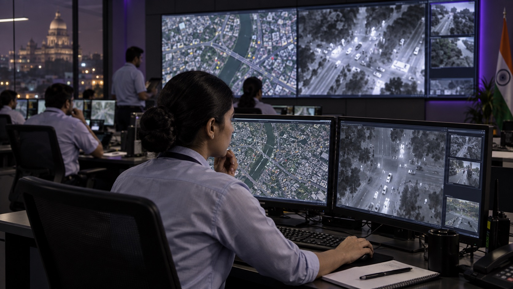
SilvaResponse brings aircraft, docks, remote operations, live optical and thermal video, and evidence handover into one permission-led response workflow for Indian public-safety and critical-operations teams.
Built around the response decision, with human authorization, safe operating limits, and a documented exception path at every stage.
01 · Ready
POSITION CAPABILITY WHERE RISK OCCURS
Keep approved aircraft, batteries, docks, routes, operators, connectivity, and response protocols in a known state.
02 · Respond
LAUNCH THE RIGHT VIEW
After authorization, dispatch a patrol-car or docked aircraft and stream optical or thermal context to the responsible command team.
03 · Resolve
COORDINATE, RECORD, HAND OVER
Maintain live context, mark observations, preserve flight and media records, and route evidence into the agency or asset workflow.
<60 secProgram design target: authorized launch*
24 / 7Readiness operating model
RGB + IRDay, low-light & thermal context
*Planning target only. Actual launch and response depend on aircraft, permissions, site controls, weather, connectivity, airspace, and operator approval.
SilvaResponse Command
ONE LIVE VIEW. EVERY RESPONSIBLE TEAM.
Give remote pilots, incident command, field teams, and authorized stakeholders the same current aerial context. Manage dispatch, video, telemetry, annotations, mission status, and evidence handover without stitching together disconnected tools.
01Alert intake and authorized mission dispatch
02Live optical or thermal streaming with location context
03Operator handoff, observation marking, and evidence export
Deploy the Model That Fits
START WITH CURRENT OPERATIONS. SCALE WITH EVIDENCE.
01 · Field-led
VEHICLE OR TEAM DEPLOYMENT
An authorized field team launches close to the event and uses the aircraft for immediate overhead or stand-off context.
02 · Command-assisted
FIELD LAUNCH, REMOTE OPERATOR
The field team activates the aircraft while an authorized remote pilot manages the mission and shares the live view.
03 · Dock-based
STRATEGICALLY POSITIONED RESPONSE
A secured dock keeps an aircraft ready at a defined location for approved remote launch across a validated operating area.
03 · CommandRemote operations, live streams, fleet state, annotations, access control, and audit trail.
04 · IntegrationsDesigned for alert intake, command-center workflows, evidence systems, and authorized data export.
High-Consequence Use Cases
SURVEILLANCE, RESPONSE, INSPECTION, AND MAPPING.
Public Safety
INCIDENT OVERWATCH
Provide stand-off scene context for the authorized command team before and during field response.
Fire & Disaster
THERMAL SITUATIONAL AWARENESS
Observe heat patterns, access routes, perimeters, and changing conditions without implying automated diagnosis.
Search & Rescue
RAPID AREA SEARCH
Coordinate optical and thermal search patterns across difficult ground with location-linked observations.
Critical Sites
PERIMETER & CAMPUS RESPONSE
Verify alarms and inspect remote zones at industrial, utility, logistics, and large-campus environments.
Infrastructure
POST-INCIDENT INSPECTION
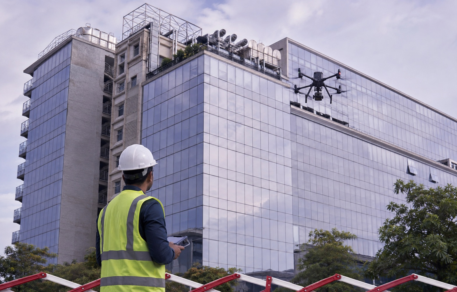
Capture bridges, roofs, utilities, facades, and access conditions before sending specialist teams closer.
Documentation
SCENE MAPPING
Create controlled 2D or 3D context for incident documentation, engineering review, and recovery planning.
Designed for India’s permission environment
DFR is an operating concept, not automatic flight authorization. Every SilvaFalcon program must be scoped against the Drone Rules, current Digital Sky airspace, aircraft and operator requirements, privacy and evidence policy, local permissions, connectivity, and the approved visual-line-of-sight or beyond-visual-line-of-sight operating model. Remote or autonomous capability is activated only within the permissions granted to the responsible organization.
A defined public-interest or operational use case, approved operating area, responsible organization, compliant aircraft and operators, flight and privacy policy, command workflow, connectivity, evidence handling, safety case, and measurable acceptance criteria.
Technical integrations can prepare or trigger a mission workflow, but launch authority and flight execution must follow the permissions and human controls approved for that program.
Choose one bounded operating area and one high-value use case, model historical demand, validate airspace and connectivity, define policy, run acceptance missions, and measure response, safety, adoption, and evidence quality before expanding.
BUILD THE FIRST PERMISSION-LED DFR PILOT.READY. RESPOND. RESOLVE.
Clients can post a project requirement, while qualified pilots can browse opportunities or create a profile. The same marketplace login supports both sides—no separate client and pilot login screens.
Every deployment is scoped around site count, capture cadence, sensor requirements, processing volume, integrations, and operating support. No hidden seat-based surprise.
What determines scope? Number and area of sites, capture frequency, sensor type, resolution, processing outputs, retention, integrations, field travel, regulatory support, and response-time commitments.
BRING THE OUTCOME. WE'LL BUILD THE SCOPE.NO GENERIC BUNDLES.
Plain-language information about privacy, responsible use, and security reporting for this website and its pilot marketplace.
Last updated: 13 September 2026. These website policies are provided for transparency and should be reviewed by qualified counsel before commercial launch.
Privacy
How website information is handled
When you submit an enquiry, pilot profile, or project requirement, SilvaFalcon Group may collect the contact, organisation, operating, and project details you provide. We use that information to respond, qualify requirements, coordinate marketplace activity, and improve our services. We do not sell personal information.
This current website demonstration stores pilot and job-board entries in the browser on the device used. Do not submit confidential, restricted, or safety-sensitive information. Embedded maps and linked third-party services may receive ordinary technical request data under their own policies.
To request access, correction, or deletion of information shared with SilvaFalcon Group, email info@silvafalcon.com.
Terms of Use
Responsible use of this website
Website content is general information, not a guaranteed performance commitment, engineering opinion, legal advice, aviation authorization, or offer capable of acceptance. Technical outcomes depend on site conditions, equipment, approvals, scope, validation, and the agreed statement of work.
Clients, operators, and pilots remain responsible for applicable aviation, safety, privacy, site-access, and professional requirements. Marketplace listings and demonstration data on this preview are illustrative unless SilvaFalcon Group confirms otherwise in writing.
SilvaFalcon Group names, marks, original text, interface elements, and supplied brand assets may not be reused without permission. Third-party names remain the property of their respective owners.
Security
Report concerns responsibly
We design access around business need and ask users to minimise sensitive information shared through website forms. No internet transmission or third-party service can be guaranteed completely secure, so operational or regulated datasets should only be exchanged through an approved project channel.
If you believe you have found a vulnerability or exposed information, email info@silvafalcon.com with a concise description and safe reproduction steps. Do not access, alter, retain, or disclose data that is not yours.