 SILVAFALCON
Services / Surveying
Measure the site. Understand the ground.
Drone survey capture and processing for land development, construction, mining and infrastructure teams.
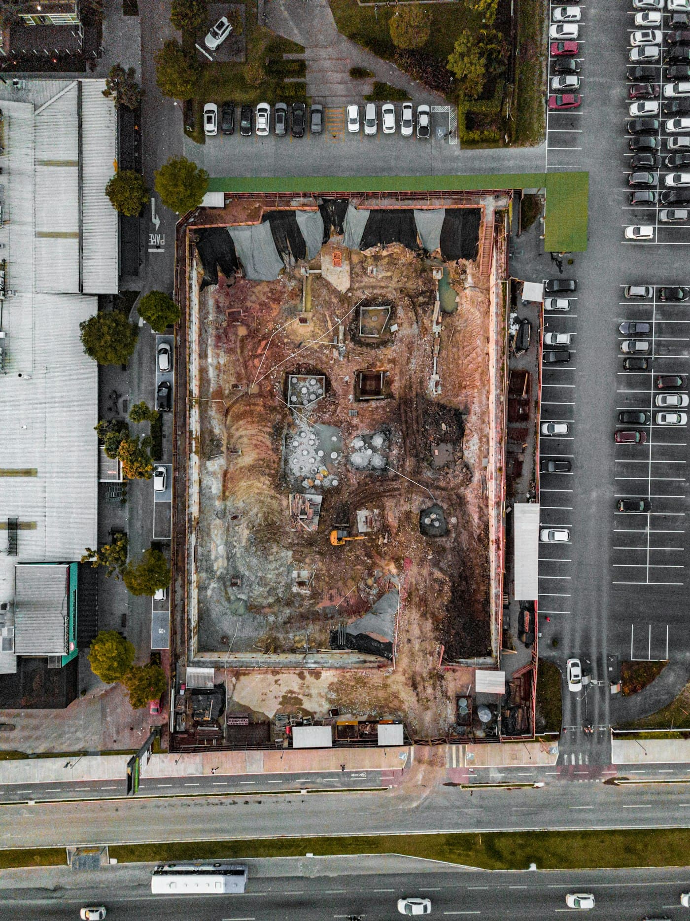
Select a capture method for the terrain.
Photogrammetry suits many visible surfaces; LiDAR may be considered where the terrain and vegetation make it appropriate. Establish a method with the survey purpose, access, control and accuracy requirements in mind.
Specify useful outputs.
The scope can include orthomosaics, surface models, point clouds, contours, stockpile quantities and cut/fill comparisons. Terrain classification and volume assumptions must be stated, not inferred from attractive imagery.
Verify before accepting.
Agree independent checkpoints, the coordinate reference system, reporting units and excluded areas. Site area and delivery speed are quoted after feasibility review, not promised as a universal daily rate.
Continue exploring
From captured images to usable site data.
Turn drone captures into project deliverables with Falcon AI processing. Scope orthomosaics, terrain models, point clouds and quality-controlled handover.
Explore the workflow ↗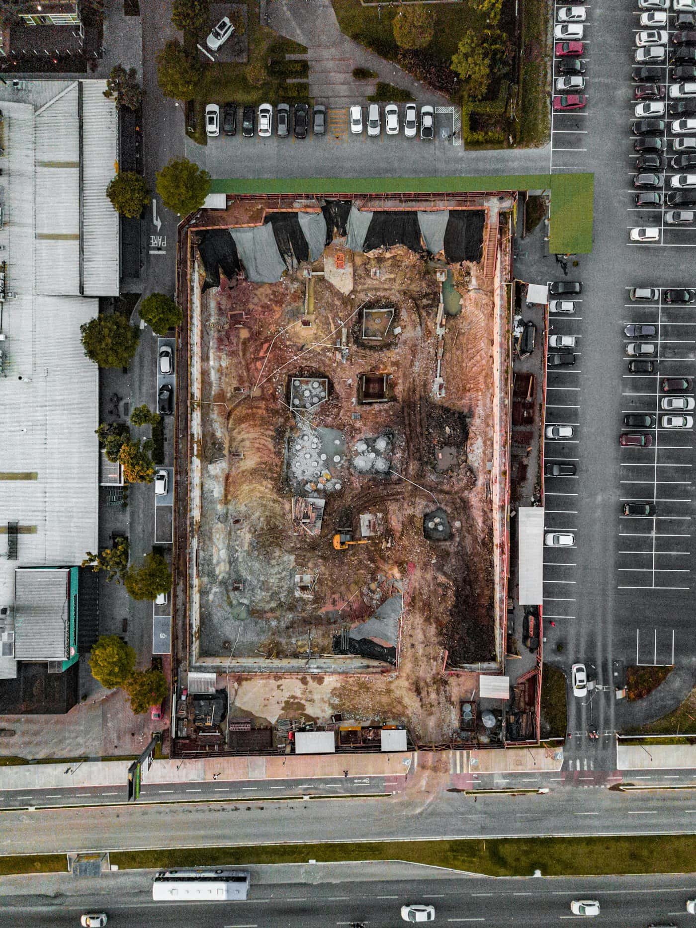
Better evidence for mining & aggregates.
Explore mining & aggregates drone capture, deliverables and Falcon AI review workflows with SilvaFalcon. Discuss a scoped project and quotation.
Explore the workflow ↗Drone survey planning checklist
Define the survey purpose, capture geometry, control and acceptance checks before commissioning a drone survey in India.
Read the guide ↗Drone photogrammetry quality checks
A practical review of coverage, control, surfaces and export quality before accepting a drone photogrammetry dataset.
Read the guide ↗Let’s work with your real brief.
Bring a site, a dataset or a hardware requirement.