 SILVAFALCON
Field notes / Practical guide
Drone survey planning checklist
Define the survey purpose, capture geometry, control and acceptance checks before commissioning a drone survey in India.
1. Define the decision and the boundary.
A site photograph, a measured surface and a boundary survey are different deliverables. Start by stating the decision the dataset must support, the area of interest and which features must be visible. Supply a boundary file where possible; a street address alone rarely defines the capture extent.
2. Agree reference systems and independent checks.
Record the coordinate reference system, vertical datum, units and known control. Ground sampling distance describes image detail; it is not a guarantee of positional accuracy. Specify how independent checkpoints will be distributed, measured and reported.
3. Make the flight plan practical.
Review obstacles, terrain changes, flight geometry, battery reserve, overlap and available light. Confirm site access and operating permissions with the responsible team. Arrange capture windows around construction activity, blasting, traffic and other site hazards.
4. Write an acceptance checklist.
Agree the outputs and file formats with the receiving engineer. Review a sample area before commissioning a large or recurring programme. The handover should explain incomplete coverage and quality limits.
- Site boundary and exclusions
- Control, checkpoints and accuracy assessment
- Capture date and environmental notes
- Coordinate system, units and export formats
- Coverage gaps, processing notes and agreed acceptance criteria
Continue exploring
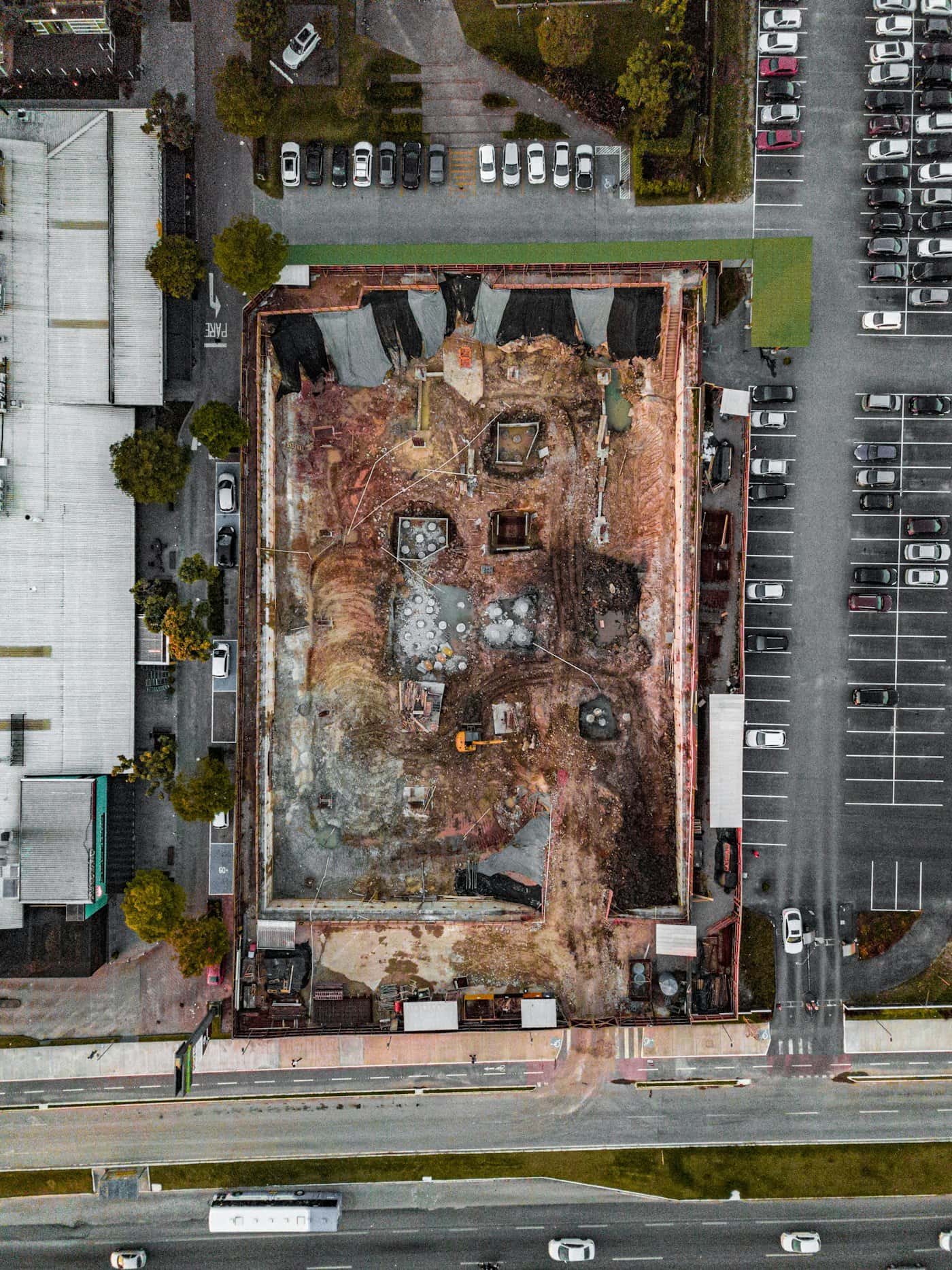
Measure the site. Understand the ground.
Request drone surveying and mapping in India. Scope orthomosaics, terrain models, contours and quantities with control, checkpoints and agreed deliverables.
Explore the workflow ↗A useful survey starts before take-off.
Plan repeatable drone capture with Falcon AI. Define the survey boundary, sensor, overlap, operating constraints and deliverables before mobilization.
Explore the workflow ↗Drone photogrammetry quality checks
A practical review of coverage, control, surfaces and export quality before accepting a drone photogrammetry dataset.
Read the guide ↗Let’s work with your real brief.
Bring a site, a dataset or a hardware requirement.