 SILVAFALCON
Falcon AI / Flight planning
A useful survey starts before take-off.
Translate the site boundary and required deliverable into a capture plan your field team can execute and repeat.
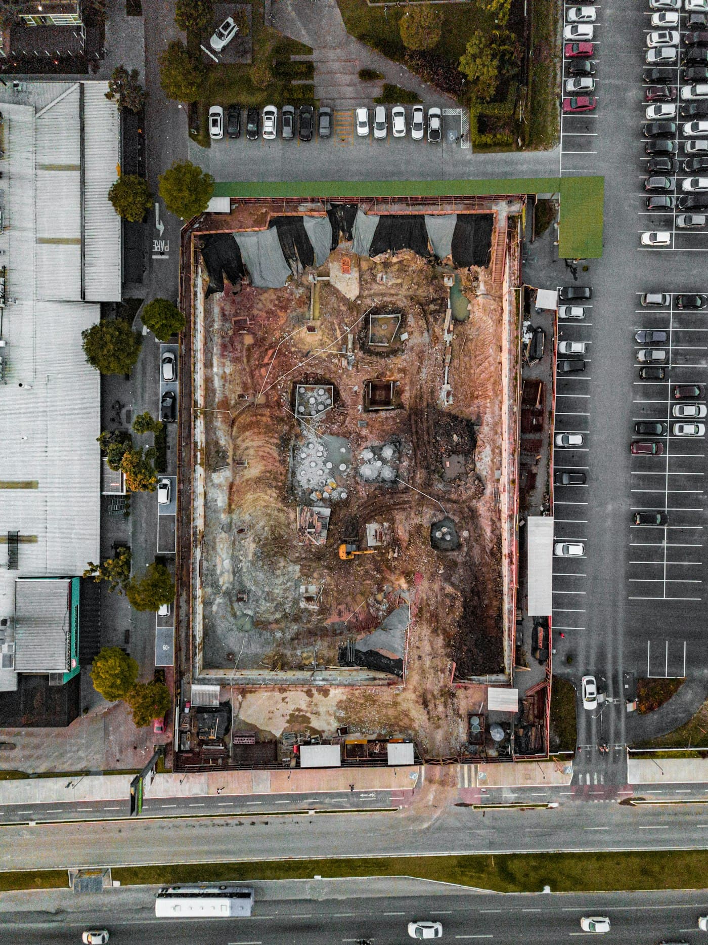
Define the mission around the output.
Start with the area of interest, required ground detail, terrain, obstructions and intended outputs. Match altitude, overlap and capture geometry to the camera and processing approach.
Plan repeatable monitoring.
For construction and inspection, repeat capture dates and comparable viewpoints make changes easier to interpret. Record the planned route, site restrictions and reasons for deviations.
Software is not flight permission.
Confirm aircraft support, operator qualifications, airspace restrictions, site access and required approvals for each mission. Automated planning does not grant permission to fly.
- Boundary and exclusion zones
- Aircraft, sensor and battery plan
- Control and independent checkpoints
- Weather limits and emergency procedures
Continue exploring

From captured images to usable site data.
Turn drone captures into project deliverables with Falcon AI processing. Scope orthomosaics, terrain models, point clouds and quality-controlled handover.
Explore the workflow ↗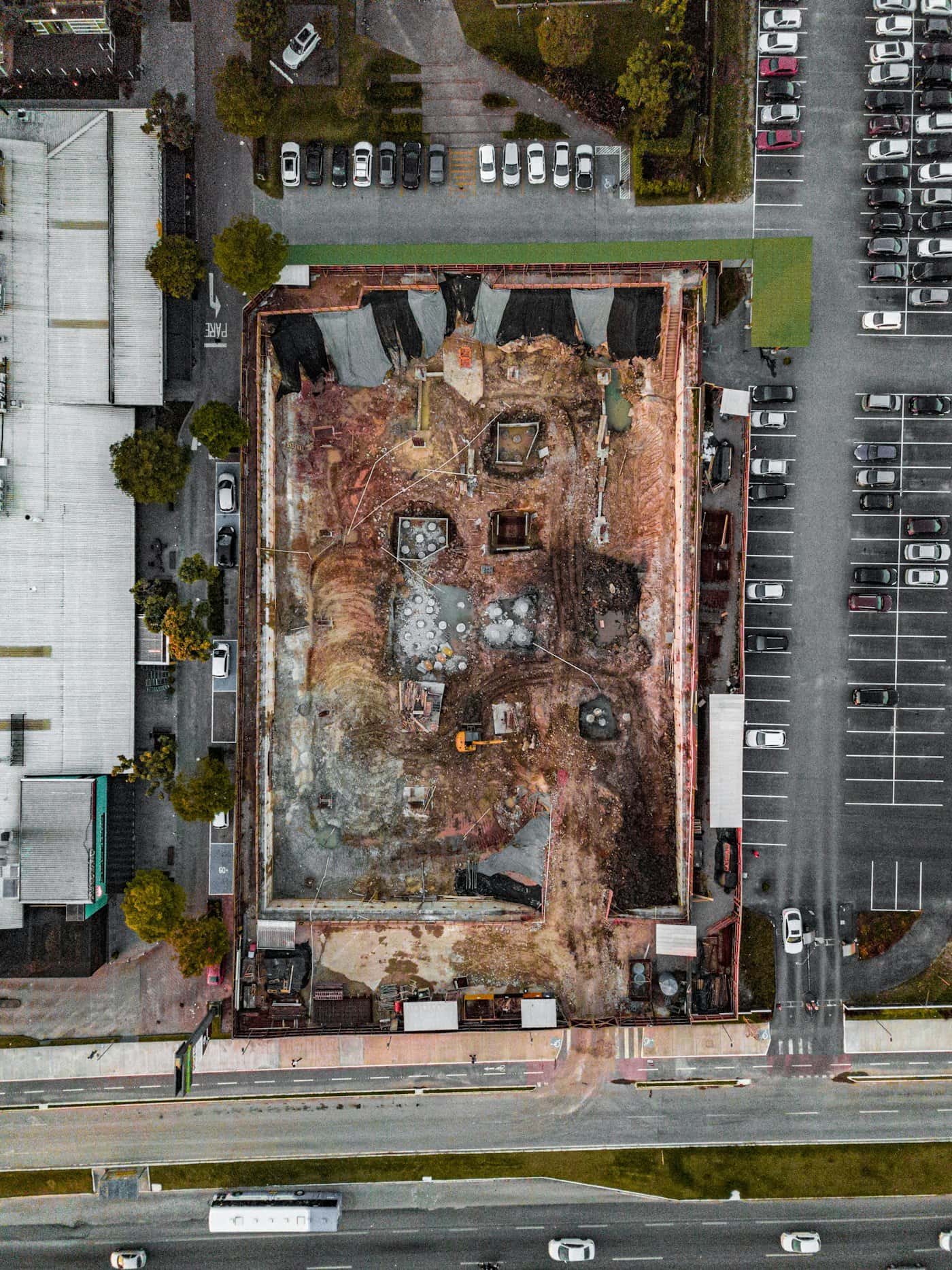
Measure the site. Understand the ground.
Request drone surveying and mapping in India. Scope orthomosaics, terrain models, contours and quantities with control, checkpoints and agreed deliverables.
Explore the workflow ↗Drone survey planning checklist
Define the survey purpose, capture geometry, control and acceptance checks before commissioning a drone survey in India.
Read the guide ↗Let’s work with your real brief.
Bring a site, a dataset or a hardware requirement.